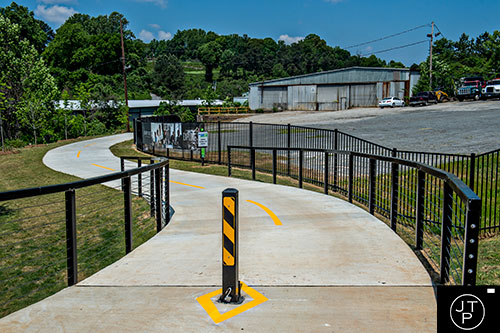
The initial stretch of the long awaited Proctor Creek Greenway on the westside of Atlanta is finally open. This is the first project of its kind funded by Atlanta TSPLOST cash. Once fully completed, the multi use trail will link Maddox Park and the Beltline’s Westside Trail for seven miles out to the Chattahoochee River, with some 400 acres of green space alongside it. The first stage of three and a half miles is paved, open and ready to use taking urban hiking enthusiasts through nature and post industrial relics
Come next year, portions of the Proctor Creek trail will neighbor public-accessible areas of the under-construction Westside Park at Bellwood Quarry, which is eventually planned to span 280 acres—with its own systems of pathways—as Atlanta’s largest green space.
But for now, come take a walk through the newest trail and way for Atlantans to explore their city.
Since Maddox Park was closed, we start the Proctor Creek Greenway about eight-tenths of a mile in across from the Bankhead MARTA Station off of Gary Ave.
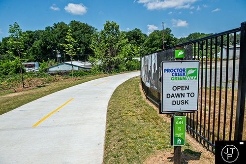
The trail is open from dawn until dusk according to the sign.
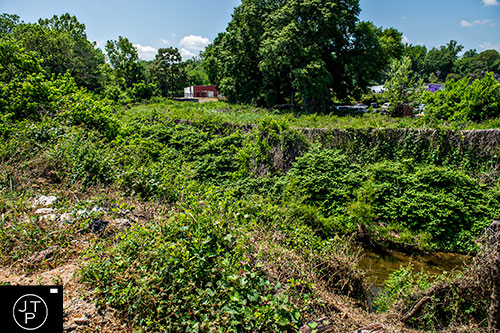
Old buildings dot the lush green landscape as the trail keeps close to Proctor Creek at this point on the trail.
A crane takes shelter from the sun as it stands in Proctor Creek.
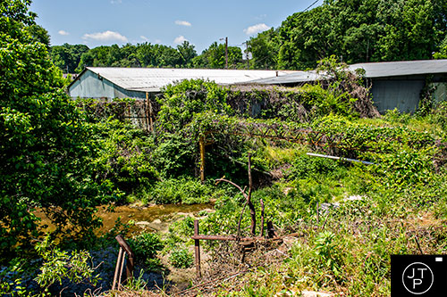
A dilapidated building sits along Proctor Creek along the trail.
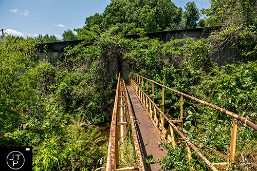
A rickety pathway crosses over the creek as the trail passes by the aforementioned dilapidated building.
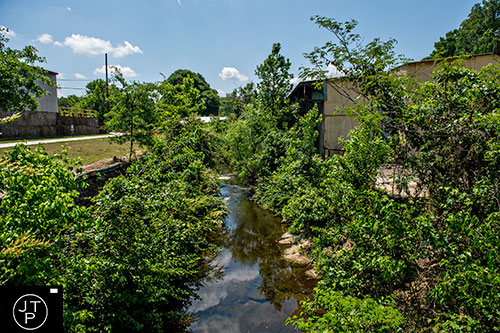
The first clear view of Proctor Creek along the trail.
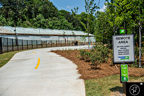
A sign reminds visitors to bring essential gear when hiking along Proctor Creek Greenway.
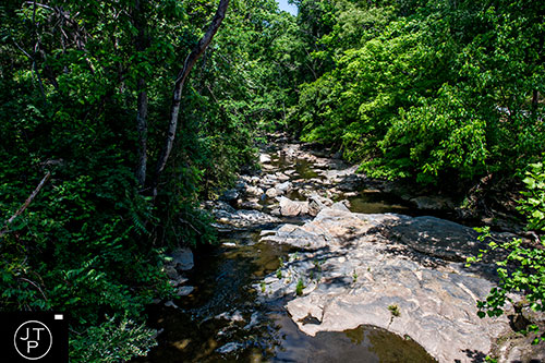
One of the last unencumbered views of Proctor Creek for a while along the trail with the view from Bridge #1.
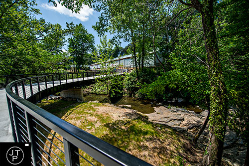
An expansive view of Proctor Creek Bridge #1.
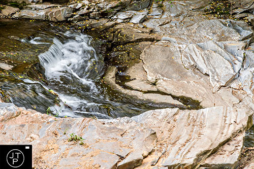
A small waterfall rapid at Bridge #1 as Proctor Creek makes its way towards the Chattahoochee River.
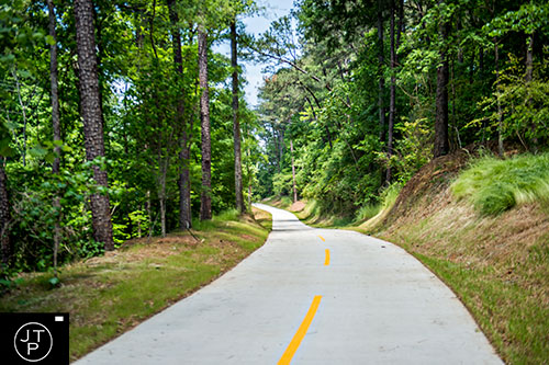
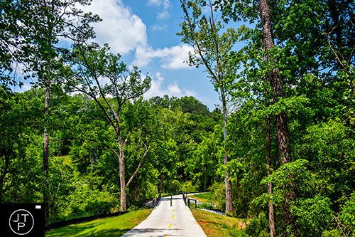
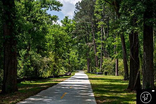
Proctor Creek Greenway bathed in sunlight as it makes its way through the woods.

The trail is elevated through a possible flood plain as it starts to gain a little elevation.
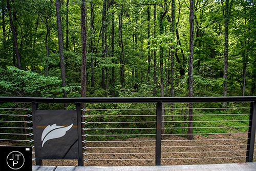
The greenway logo is placed along the elevated trail.
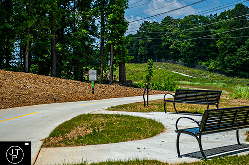
Rest areas with benches are sporatic along the greenway.
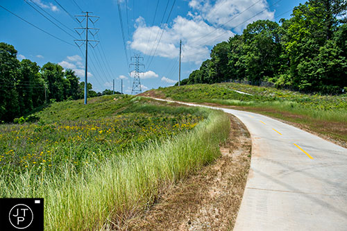
The trail follows high voltage power lines for a little while.
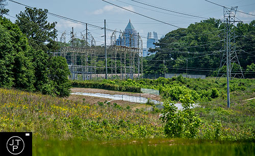
Buildings in downtown can be seen from a distance looking back from the trail.
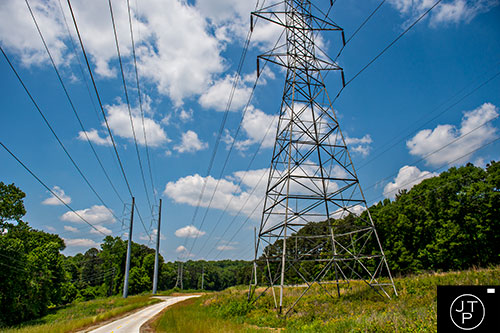
The trail passes by the large transmission lines.
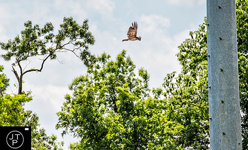
A hawk cruises the sky above the trail.

The trail crosses over Grove Park Place.

Fallen leaves are imprinted in the concrete of the trail after crossing over Grove Park Place.
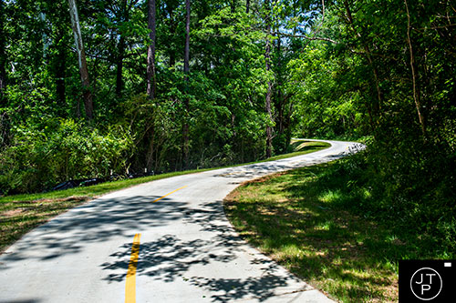
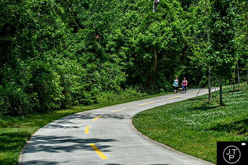
The greenway twists and turns through the woods.
A gentle downward slope brings the trail back towards the water.
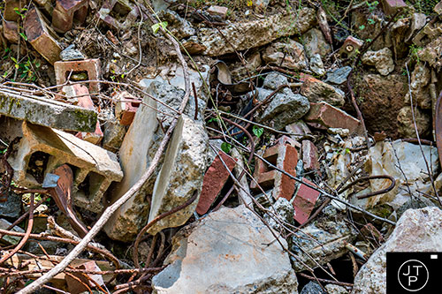
An odd pile of rubble with bricks, cinder blocks, pieces of metal and concrete along the trail.
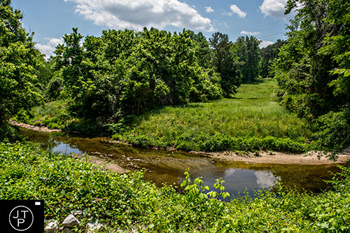
The trail finally gives another view of Proctor Creek after about a mile of woods.
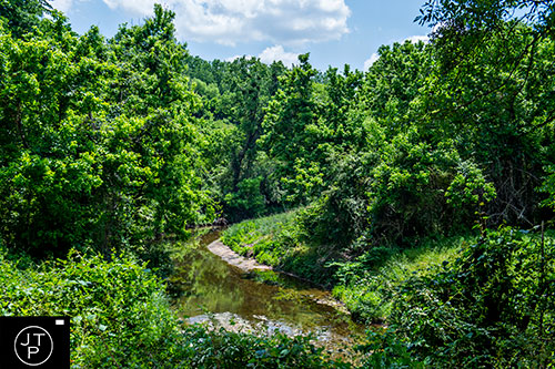
Looking back to see the creek cut through a heavy thicket of trees and brush.
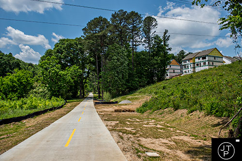
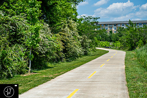
New residential construction overlooks part of the greenway.
Some much needed shade and another rest stop off in the distance.
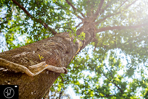
Vines grow up the trunk of a larger tree along the path.
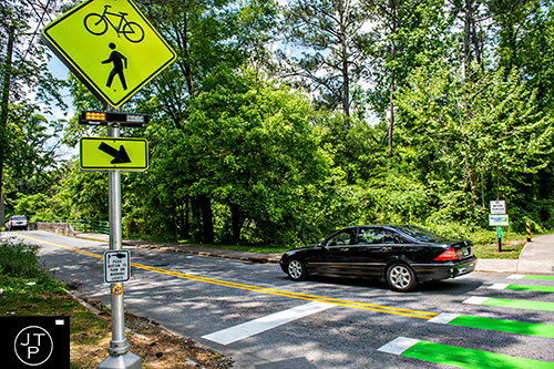
Cars pass by the crosswalk at Johnson Road as the trail continues on.
Out for a walk near Boyd Elementary School.
The last bend in the trail before the end of phase one near Sandford Drive.
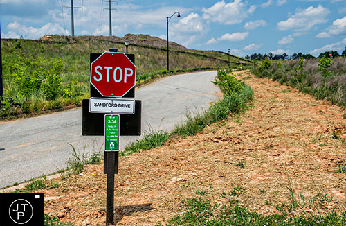
The first section of the trail ends at 3.34 miles as it intersects with Sandford Drive.